


Geospatial Technology in AP Human Geography Class
Source/Author: Kam O'Horo, US Teacher
September 10, 2015
Geospatial technology refers to equipment used in visualization, measurement, and analysis of earth’s features, typically involving such systems as GPS, GIS (geographical information systems), and RS (remote sensing). Its use is well-known and widespread in the military, but its influence is pervasive everywhere. Whenever someone uses a computerized map and adds other data, even where to find the nearest Starbucks, this technology is used. The field is one of the fastest growing today.
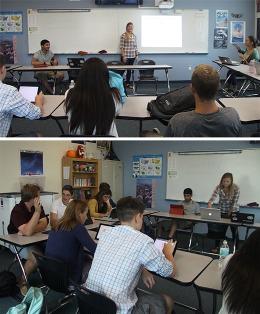
Lindsay Brendis from the USF Geo-Spatial Analytics Lab showed AP Human Geography students how to connect maps, apps, data, and people using GIS (Geographic Information System), remote sensing, and other data via the ArcGIS online platform.
Students were able to look at a map online and zoom in anywhere in the world and add specific layers of data, like population, flood occurrences and much more. Learning how this data connects with local populations and the alteration of the Earth's surface is what drives AP Human Geography.
Source: http://www.usnews.com/science/articles/2011/05/11/geospatial-technology-as-a-core-tool


