
Mapping Early 19th Century America
Source/Author: Kayla Brazee, US History Teacher
November 12, 2020
Upper School students in Ms. Brazee's U.S. History Honors class recently examined early-mid 19th century America, and discussed topics such as the market revolution, westward expansion, Manifest Destiny, Jacksonian politics and the Antebellum South.
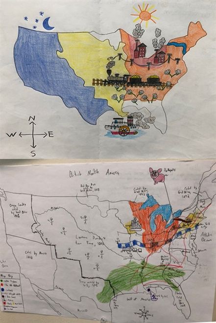
As the curriculum set the stage for the Civil War, students created maps of the United States in the early 19th century that indicated the numerous economic transformations that took place, including westward expansion, the development of steamboats/trains, the Erie Canal, the construction of telegraph wires, railroad tracks and factories, and the Cotton Kingdom.
"I love what the students came up with. They did great!" Ms. Brazee said.
Creating visual representations reinforces learning for students, challenges their ability to figure out which pieces of information are the most important and creates a personal interpretation of abstract ideas.


